It’s vital that you learn precise body position, braking and throttle control before tackling mountain roads; on North Georgia routes you must anticipate blind corners, gravel runoff and sudden elevation changes and use proper lines to stay safe. Use smooth progressive braking, maintain a relaxed grip, and apply maintenance throttle to exit cleanly. These skills turn risky stretches into confident, exhilarating rides with scenic payoff, letting you protect your margin while enjoying the best twisty mountain roads.
Essential Gear for Mountain Riding
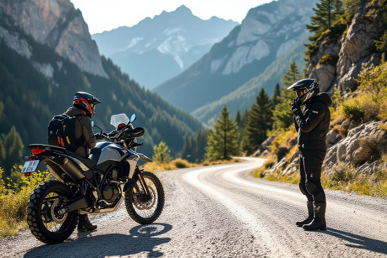
For North Georgia routes you need a complete kit: an armored jacket with CE-rated (EN1621-1) protection, sturdy pants (500D Cordura or leather), gauntlet gloves, CE-rated boots, a full-face helmet, and layered waterproofs. Add a compact tire gauge, plug kit, basic tool roll, first-aid, and 1–2 liters of water. Gear that protects your extremities and keeps your tires at correct pressure (±2 psi from target) directly reduces risk on roads like Wolfpen and Blood Mountain.
Protective Clothing
You should wear abrasion-resistant outer layers and impact armor: a jacket with CE Level 2 shoulder/elbow inserts and an optional back protector (EN1621-2). Use a moisture-wicking base layer (Merino or synthetic), a warm midlayer for elevation changes, and a waterproof breathable shell for sudden mountain rain. For legs pick armored pants or reinforced riding jeans; gloves must be gauntlet-style with knuckle protection and boots should offer ankle support and oil-resistant soles.
Helmet and Eyewear
Choose a full-face, ECE 22.06 or Snell M2020-rated helmet for the demanding sightlines and high speeds on GA 348 and US‑129. Opt for a Pinlock-ready double-pane visor to defeat fog, a drop-down sun visor for glare, and carry a clear spare for dusk and tunnels. A scratched or compromised visor reduces contrast and increases fatigue—replace it promptly.
For eyewear, prefer photochromic or quick-change visor systems; polarized lenses can hide wet patches so switch when lighting changes. Use anti-fog treatments and keep a microfiber cloth and spare visor in your tank bag. Replace your helmet every 5 years or immediately after any impact, and inspect visors for micro-scratches that scatter light at night—those degrade your ability to spot gravel, wet leaves, and wildlife crossings.
Preparation for Mountain Rides
Sort logistics before you leave: check weather 24–48 hours out for storms and black ice risk at higher elevations, pack layers for 20–30°F swings, and build a flexible pace with a 30–60 minute buffer for breaks or delays. If you want rider-sourced tips on specific stretches, see Riding over mountains: any tips for a beginner?. Keep fuel planning and emergency contact info front and center.
Motorcycle Check-Up
Give your bike a 20–30 minute pre-ride check: tires at manufacturer psi (typical front 32–36 psi, rear 36–42 psi), brake pads ≥2–3 mm, chain slack 20–30 mm, oil and coolant levels topped, lights and signals functional, battery ~12.6V, and a quick lug-nut/wheel-axle visual. Carry a small tool kit, spare fuses, and a tubeless repair kit — these items prevent getting stranded on remote stretches like Wolfpen Gap.
Route Planning and Research
Plot fuel stops every 60–100 miles and mark alternate routes for closures; note elevation highs like Brasstown Bald (4,784 ft) and Blood Mountain (4,458 ft) where weather and pavement change fast. Check DOT/forest service alerts, download offline maps, and factor in cell-coverage gaps on ridge lines. Highlight gravel runoff zones and shaded leaf-slick areas on your notes.
Go deeper by creating a ride sheet: list mile-by-mile hazards, planned rest/fuel stops, and estimated times (expect 30–45 mph average on technical sections). For example, a Suches→Wolfpen→Blood Mountain loop (~80–110 miles depending on variations) typically takes 2.5–4 hours of riding time; break every 45–60 minutes to rehydrate and scan tires for debris. Use apps with offline topo layers or a GPS unit, check recent rider reports in local groups, file your route with someone, and bring a satellite messenger (Garmin inReach / SPOT) if you’ll be beyond cell service. Emphasize conservative fuel margins — many sport and adventure bikes run 120–160 mile ranges, so planning a stop at ~60–80 miles reduces risk of running low in remote stretches.
Riding Techniques for Mountain Roads
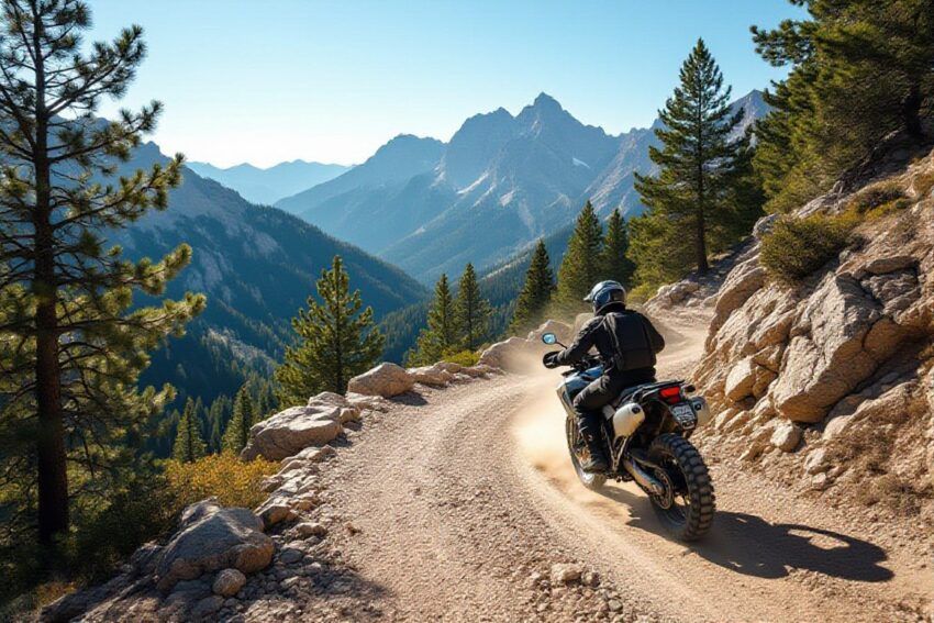
On North Georgia roads you must adapt to sudden elevation changes, tight switchbacks, and frequent blind turns—routes like Blood Mountain and Wolfpen demand smooth inputs and sharp hazard awareness. Use an Tips for Motorcycle Riding in the Mountains resource for route-specific notes, and prioritize scanning 150–200 feet ahead, avoiding gravel patches, and respecting decreasing-radius corners at reduced speed.
Cornering and Leaning
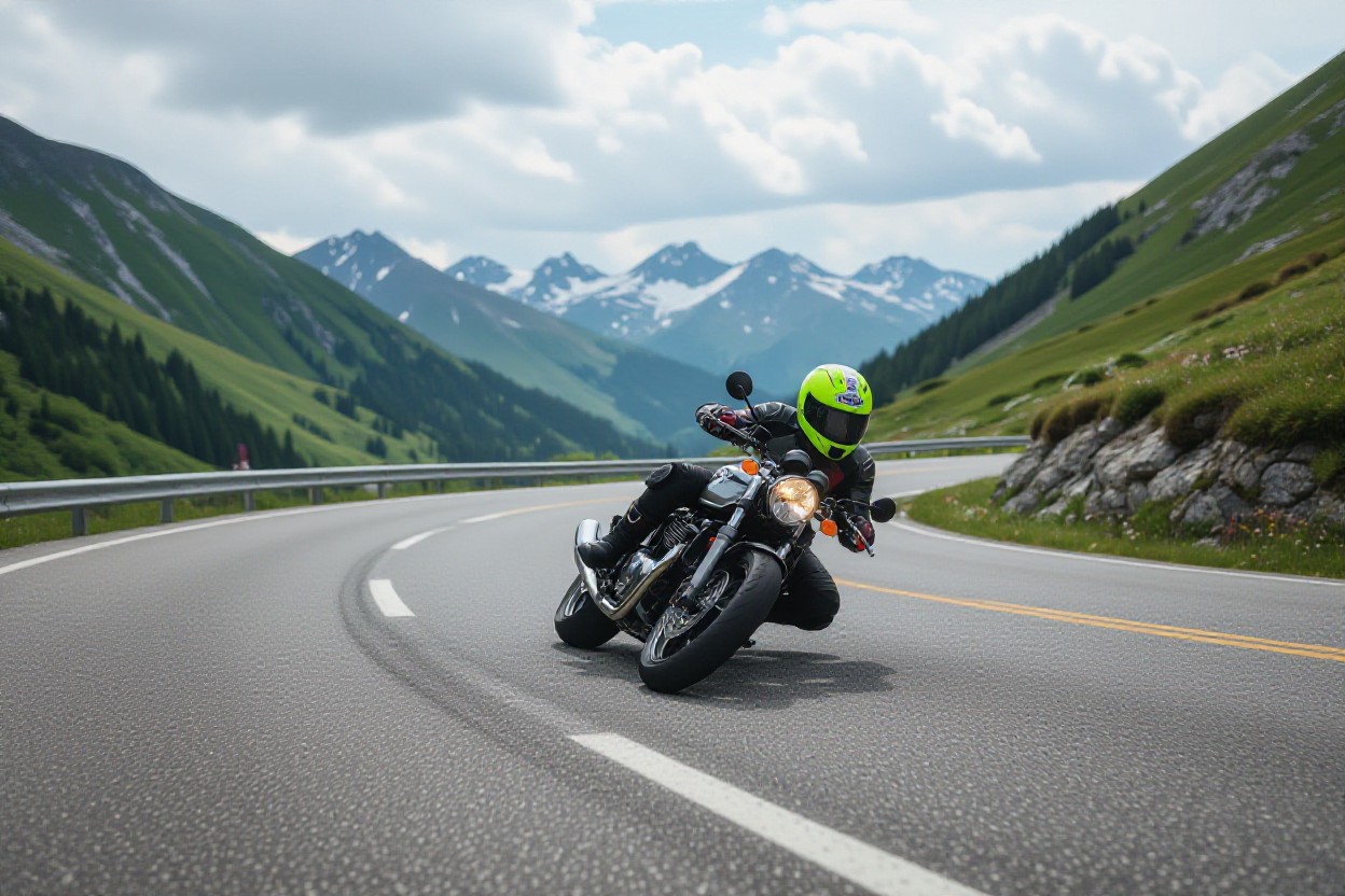
Adopt the outside–inside–outside line, slide slightly forward, and shift your upper body toward the inside handlebar to reduce lean angle; keep your chin pointed to the exit and knees on the tank. Apply a light 2–5% maintenance throttle mid-corner to stabilize suspension, and on roads like Hwy 348 and Wolfpen practice holding smooth, progressive inputs—no sudden steering or throttle snaps—to maintain the tire contact patch.
Managing Speed and Traction
Set speed before the turn: apply 70–80% front brake and 20–30% rear in a smooth, progressive squeeze, then roll off as you begin the lean. Use engine braking on long descents (Brasstown Bald) and favor higher gears downhill for stability; on uphill sections keep RPMs up to avoid lugging. Watch for wet leaves, tar snakes, and gravel that instantly cut traction.
For deeper control, employ trail braking into decreasing-radius turns—initial firm brake, then ease to ~10–20% pressure as you tip in, tightening your line. On long grades apply intermittent braking every 3–5 seconds instead of dragging the pads, and reduce speed 10–20 mph before blind corners; check tire pressure and tread often to preserve your traction margin.
Weather Considerations
Riding in Rain and Fog
Dense fog on sections like Blood Mountain can cut visibility to less than 200 feet; when that happens you should slow 30–40%, open following distance to 4+ seconds, use low beams or fog lights, and avoid sudden inputs. Watch painted lines and tar snakes—hydroplaning risk rises on runoff after storms. If visibility drops below ~100–150 ft, pull off at a safe turnout or overlook until conditions improve.
Rain & Fog: Hazards vs Actions
| Hazard | Action |
|---|---|
| Poor visibility (fog, heavy rain) | Reduce speed 30–40%, use low beams, increase following distance |
| Hydroplaning on painted lines/tar | Ease off throttle, avoid abrupt braking, hold steady line |
| Road runoff and gravel after storms | Scan early, pick firm pavement track, slow before shady sections |
| Condensation/fogging inside visor | Use Pinlock/anti-fog, crack visor at stops, pull over if vision impaired |
Dealing with Temperature Changes
Elevation gains in North Georgia can change temps by 15–30°F in under an hour—climbing to Brasstown Bald typically drops ~15°F from valley temps. You should layer (wicking base, insulated mid, waterproof shell), carry glove liners and a warmer pair, and use a balaclava or neck tube. Watch shaded north-facing curves for black ice or frost on cold mornings and adjust route or pace accordingly.
Temp Change: Quick Gear Choices
| Condition | Recommended Action |
|---|---|
| Rapid drop while climbing | Add insulated mid-layer and glove shells; switch to heated grips if available |
| Sudden warm-up on descents | Open vents, remove inner layer at stops, avoid heavy sweating |
| Cold morning start (<40–50°F) | Use full insulation, windproof shell, thicker gloves, balaclava |
| Hot afternoon (>75°F) | Wear mesh gear, hydrate, plan shaded breaks |
For specifics: at around 50°F you should have heated grips or insulated gloves and a mid-layer; near 40°F add a windproof shell and balaclava to prevent numb fingers and slowed reaction times. Conversely, above 75°F switch to ventilated armor and hydrate every 45–60 minutes; if you start sweating heavily, stop and shed layers to avoid hypothermia on a quick elevation drop.
Layering Guide with Temps
| Temperature Range | Recommended Layers |
|---|---|
| Below 40°F | Wicking base, insulated mid, windproof/waterproof shell, heated grips, insulated gloves |
| 40–60°F | Wicking base, light insulated mid, waterproof shell, glove liners |
| 60–75°F | Wicking base, breathable jacket with vents, light liner you can stow |
| Above 75°F | Mesh jacket/pants, hydration pack, sun protection, frequent rest stops |
Safety Tips for Mountain Riding
On mountain roads you must prioritize gear, planning, and conservative speeds. Wear a DOT helmet, armored jacket, and bright layers; carry a compact first-aid kit and basic tools. Set speed to 30–45 mph on blind bends and maintain a 3–4 second gap behind traffic; slow more on wet leaves or gravel. Check forecast and daylight for stretches like the Richard B. Russell Scenic Highway or Wolfpen Gap motorcycle runs. Thou, as you ride, keep emergency gear and ride within your limits.
- Pre-ride check: tyres 36–40 psi, brakes, lights, chain/tension.
- High-visibility gear: fluorescent layers, reflective tape, auxiliary LEDs.
- Communications: phone, power bank, satellite messenger/SPOT if riding remote roads.
- Route notes: mark mileposts on the Blood Mountain motorcycle ride and Wolfpen Gap for quicker location reporting.
Maintaining Distance and Visibility
Keep a minimum 3–4 second following distance on open sweepers and extend to 4–6 seconds on wet leaves, loose gravel, or low light. Use brief high‑beam flashes on long straights to be seen, and fit a modulated brake light or auxiliary LED for daytime visibility. Position your lane to maximize sightlines into blind crests on routes like Hwy 348, and signal early so riders behind you can react without surprise.
Emergency Procedures
In a crash secure the scene first: move your bike out of traffic if safe, switch on hazards, and apply direct pressure to bleeding. Call 911 and give the nearest mile marker or GPS coordinates—mobile coverage on Wolfpen Gap motorcycle is patchy, so use a satellite messenger if available. Keep the injured warm, avoid moving suspected spinal injuries, and log the incident time and witnesses for responders.
Carry a compact kit: gauze, Israeli bandage, tourniquet, triangular bandage, Mylar blanket, multi-tool, flashlight, and an emergency contact card. If bleeding, apply firm pressure for 5 minutes; use a tourniquet only as a last resort. When calling 911, give the route name and nearest milepost or GPS—e.g., “southbound US‑129 near Blood Mountain overlook.” If you lose cell service, activate your satellite messenger and stay with the injured if safe; flag passing vehicles and use a high‑visibility vest to attract help. Photograph damage and collect witness names for responders and insurance.
Conclusion
From above, you should apply disciplined body position, progressive braking, and smooth throttle control to handle North Georgia’s twisty mountain roads confidently; practicing trail braking and exit-focused throttle work on routes like Blood Mountain, Wolfpen Gap, and the Richard B. Russell Scenic Highway sharpens your skills and keeps your margins wide so you can enjoy the scenery while managing hazards and variable grades.